While we waited by the side of the road in Sary-Tash for a truck to give us a ride north, we were approached by two French cyclists who had just come from the Pamir Highway. When we asked them about the road they said it was like cycling in a frozen cloud. The freezing rain was relentless, the roads were washed out and muddy, and the superlative vistas they had been promised were hidden behind thick curtains of clouds. As they told their story a large, empty flatbed truck passed us on its way north. I ran after it waving my arms and it slowed to a stop. “Osh?” I asked. The two men in the cab smiled and waved me aboard. Erica and I began loading our bikes and bags onto the flatbed and without saying anything the two Frenchmen did the same. I guess they had had enough cold, wet cycling for a while.
Hitchhiking back to Osh with some French cyclists
Once we were back over the Taldyk Pass, the two French guys knocked on the cab of the truck and hopped off with their bikes. The road from the Taldyk Pass to Osh is about 170 km downhill on smooth pavement. I understood their desire to ride this part after the tough time they had in the Pamirs. The driver waved us in to the cab and we sat between him and his friend on the single bench seat for the rest of the way to Osh. At first we used the little Russian we had learned plus a lot hand gestures and charades to explain where we are from and what we are doing. They wanted to know how much we paid for our bikes and were impressed by the deflated figure I self-consciously gave them. When I asked them about the cost of their truck, they proudly announced that it was worth several times more than our bikes. For most of the trip though, we sat in silence as we watched our last five days of cycling come undone in just four hours.
Back at the Bayana Guesthouse in Osh we watched weather reports daily looking for signs of improving weather in the Pamirs. We read more about the Pamir Highway and the Wakhan Valley and realized that we had been a bit underprepared to tackle these places on our first attempt. We learned that one of the biggest challenges to cycling through the Pamirs, in addition to the altitude, the climate, and the rough roads, is simply the lack of shops and places to resupply. So we made a careful study of the towns and villages where we might find stores and bought enough rice, pasta, onions, and potatoes to last until we reached them.
As the days went by, the weather reports grew more and more promising. Finally, after languishing in Osh for yet another week it seemed as though the rainy spell in the Pamirs was ending and we would have some better weather for our push south.
On the morning of our second departure from Osh, as we rode through the chaotic morning traffic, Erica’s front rack broke and her front left pannier went tumbling into traffic. We pulled over to the side of a busy intersection, recovered the bag, and surveyed the damage. Thankfully, Erica was not hurt, her bag was not run over, and the rack was fixable. One of the bolts which secure the rack to the fork had broken off at the eyelet and was stuck inside. At first this seemed like a major setback at the start of our second attempt to enter the Pamirs but we soon realized that we had been quite lucky. Instead of breaking in the middle of a sparsely populated, high-altitude desert, the rack broke while we were still in a city. So we stuffed the pannier underneath the cargo net on my rear rack and made our way to Osh’s famous bazaar.
We pushed our bikes through the crowded bazaar past vendors selling fruits, vegetables, bread, and myriad spices until we arrived at the hardware and tools section. I asked a couple vendors, “velosiped?” (Russian for bicycle) and they directed us deeper into the bazaar. Finally we found a bicycle repairman who was able to cut a slot in the stuck bolt with a hacksaw and unscrew it from the fork. I then reattached the rack with one of our spare bolts and we were on our way.
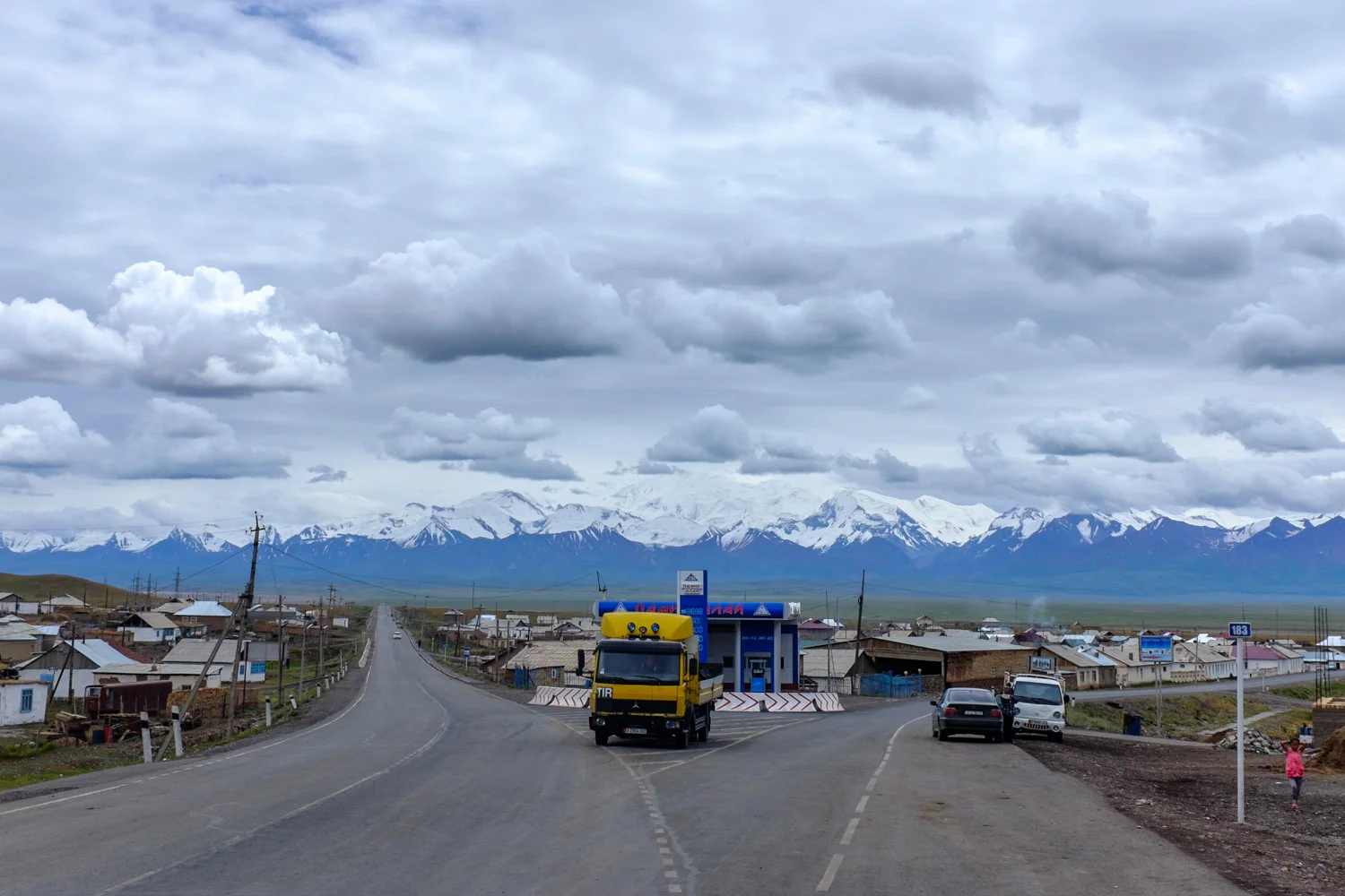
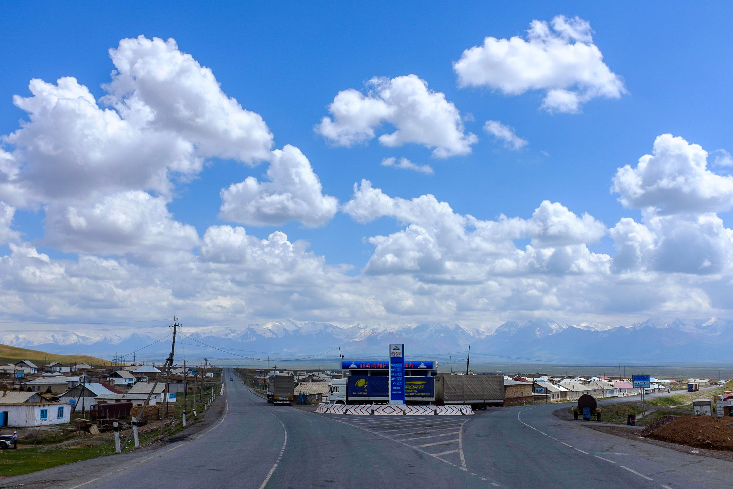
We pedaled a few kilometers out of town on M41 and stopped by a petrol station to flag down a ride back to Sary-Tash. We had not waited more than half an hour before yet another large flatbed truck pulled over and offered us a ride. The driver was a big grizzly bear of a man. Before we got too far from Osh, he pulled over and bought some snacks for the long drive ahead, including ice cream cones for the three of us which looked hilarious in his giant hands. He was on his way to Kitay (Russian for China) to load his empty truck up with goods and bring them back to Kyrgyzstan. When we finally made it back to Sary-Tash, we were treated to a much more encouraging view than the first time we arrived.
Drag the slider to see the difference in the weather
The truck driver dropped us off in front of the only restaurant in town. We offered to buy him lunch but he declined and continued on towards China via the Irkeshtam pass. We had a couple manti (large boiled dumplings) for lunch before we got back on the road and headed towards the Tajikistan border.
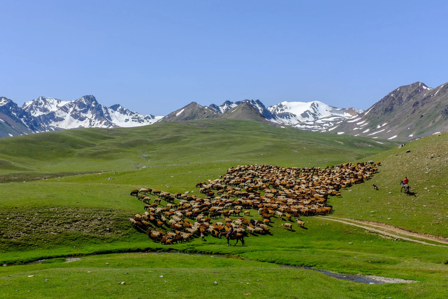
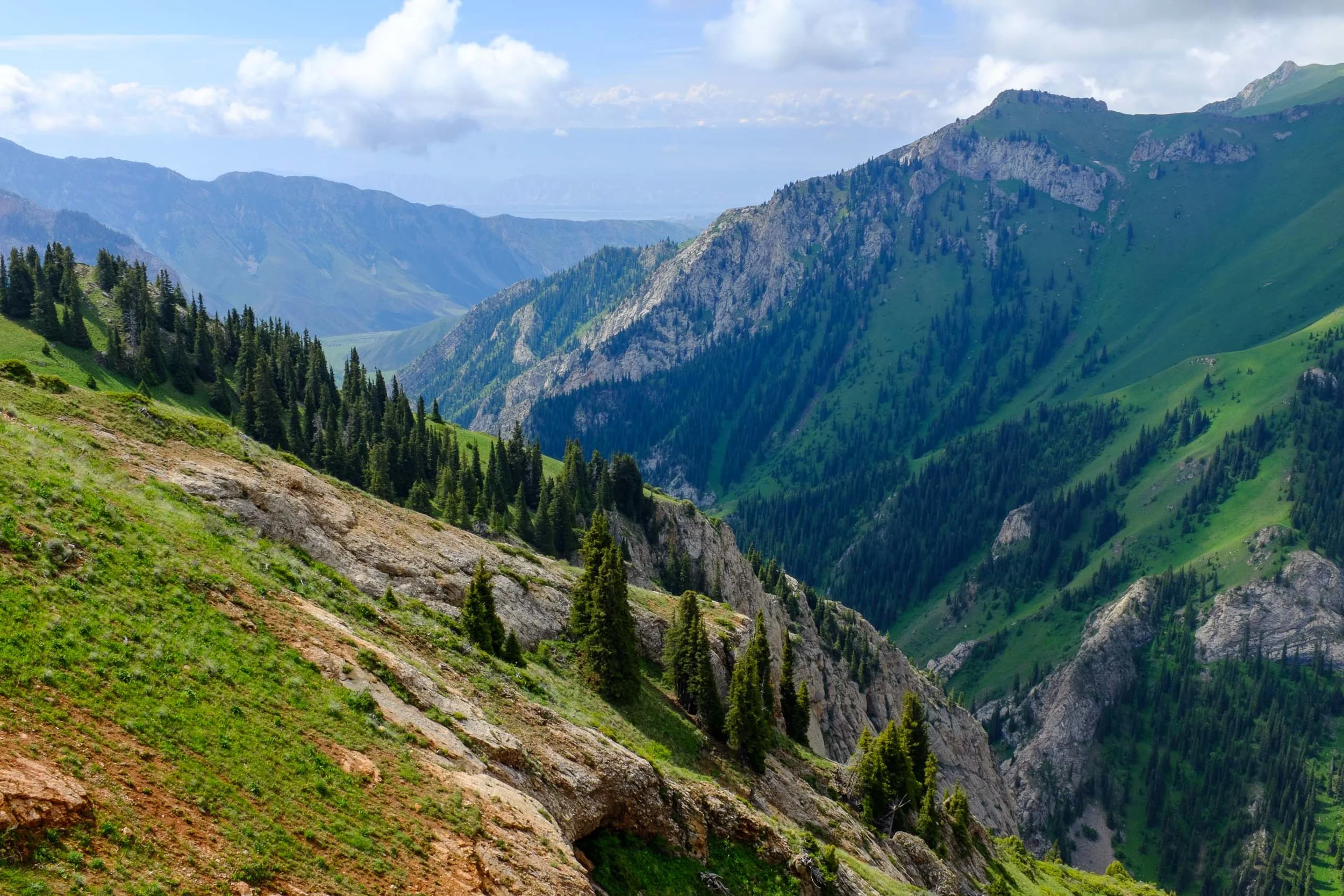
We rolled south from Sary-Tash through a military checkpoint and down into the sprawling Alay valley which lies like a moat before the fortress of the Pamir mountains. The Alay valley is 26 kilometers wide and 200 kilometers long, surrounded by Kyrgyzstan and Tajikistan on the north and south and China on the east. We made our way across the vast grassland on a cracked and crumbling paved road. As we approached the mountains on the other side, we heard rumblings of thunder and started to worry that we had been overly optimistic about the weather forecast. But as we got closer to foothills of the Pamirs, we saw several military trucks and a large group of soldiers stationed along the river. The soldiers stood in groups around five or six mortar tubes and were taking turns blowing up the opposing riverbank.
Riding across the Alay valley to the Pamir mountains
Fortunately, we were on the non-exploding side of the river but we still wondered if it was safe or permissible to pass. We cautiously pedaled forward, half expecting someone to point a gun at us and arrest us for espionage. But the soldiers ignored us. As we made our way up into the hills, we could still hear the thunderous mortar explosions behind us. A few children, seemingly from nowhere, ran to the road to meet us. Some insisted that we stay in their family’s yurt, a couple brazenly asked, “Snickers yest?", but mostly they just seemed curious about the crazy foreigners passing through on bicycles.
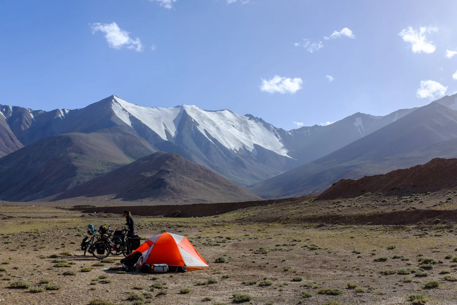
We continued on to the border checkpoint and got stamped out of Kyrgyzstan. It was getting late though and the Tajikistan border crossing was still about 20 km away and over a steep pass. So that night we camped in the no-man’s-land between the two countries. At 3,500 meters (11,483 ft) above sea level, it was our highest altitude campsite to date. We learned a couple things about camping at very high altitude that night:
- Once the sun goes down, it gets very cold very fast. There was still plenty of light out but once we were in the shadow of a mountain the temperature plummeted and had us scrambling to put on all of our clothes. We resolved to stop and set up camp earlier in the future so we could be in the tent before it got too cold.
- Cooking is hard. Because of the lower air pressure, water boils at a lower temperature but takes longer to cook your food. The pasta that we tried to cook that night never returned to a boil and cooked into a gluey mess. We later discovered that rice takes a lot longer to cook too. Longer cook caused our stove to burn more fuel than we had anticipated and was concerning since petrol stations are few and far between in the Pamirs.
Before the sun set completely that night, we could still hear the distant booms of exploding mortar shells.
The foothills of the Pamir mountains
Our first high altitude campsite
We woke up early the morning but it was too cold to leave the tent before sun had risen a little higher. The sky was clear though and once we got into the sun it warmed up quickly. The M41 was still paved at this point but after a few kilometers we found a large chunk of the road was missing. In its place was a rushing stream. We tried to take advantage of the situation and refill our water bottles but the water was salty. Fortunately the water was not deep so we took off our shoes and pushed the bikes across. From that point on the road got progressively worse and soon there was no pavement left at all.
Fording a salty stream
We continued to ride straight south up a gradual incline towards a massive wall of ice and snow. But the road soon swerved to the west and sent us up a steep incline on a dirt road littered with large stones. Plump marmots whistled to each other and dashed towards their burrows as if to announce our arrival in their valley. But when the shadow of a large hawk soared across our path, we knew the marmots had bigger things to worry about.
Riding into the Pamirs
As we approached 4,000 meters (13,123 ft) above sea level our energy seemed to go out of us like air from a flat tire. We shifted down to our lowest gears and spun our pedals as fast as we could but barely maintained enough speed to remain upright. We wobbled left and right trying to avoid the fist-sized rocks scattered about the road. From a distance we could see a group of buildings and wondered if it was the Tajikistan border crossing. As we pedaled closer, a boy approached us on his bicycle. “Chai! Chai!” he called out while imitating drinking from a tea cup. It was noon and we were already exhausted so we welcomed the invitation.
The boy led us inside and introduced us to his father, a young man weather by hard work in a harsh environment. He put cushions on the floor for us to sit on and spread out a blanket on which he put a teapot, cups, bowl of sugar, and fresh bread and butter. We relished the warm drinks and buttery bread but knew that outside a series of at least eight steep switchbacks waited for us. So when our host offered us a reasonable rate on dinner and a room for the night we took it. We spent the rest of the afternoon dozing, reading, and playing with our host’s kids. Their favorite toy was a small plastic car which drove around in circles playing the K-Pop hit, Gangnam Style.
The house where we spent the night near the Kyzyl-Art pass
That evening, the lady of the house cooked us some pasta in a pressure cooker to counteract the low pressure at high altitude and served it to us with chunks of what she said were Marco Polo sheep meat. We knew Marco Polo sheep were endangered (actually, “near threatened” according to Wikipedia) but were too hungry to refuse. We told ourselves that if anyone is allowed to hunt them, it is the people living in the Pamirs. After dinner we sat with our host family and watched a National Geographic show about African wildlife on their solar powered television before going to sleep.
The next morning after a quick breakfast of tea and bread, we got back on the road and began grinding our way up the Kyzyl-Art pass, the formal boundary between Tajikistan and end of the no man’s land. The road was steep and we occasionally had to pull over to the side to make way for large trucks barreling up the pass as fast as they could. But we already felt much better than the day before. We rested at the top of the pass to catch our breath and devour some Dali Bars. Then we rolled down the rocky dirt road on the other side of the pass into Tajikistan.
Very happy to reach the top of the pass
A statue of a Marco Polo sheep marking our arrival in Tajikistan
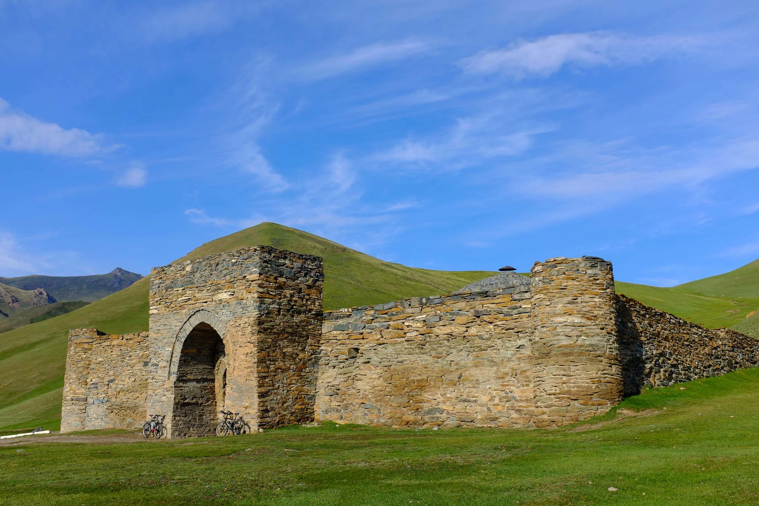
Shortly after crossing the pass we arrived at a collection of shipping containers and coils of barbed wire. The place looked deserted. The only sound, apart from the sand shifting in the wind, was the occasional slap of a door freely swinging open and shut on a tattered old shack. We wearily pushed our bikes a little closer until we finally caught someone's attention. A young soldier in bright green fatigues with an automatic rifle slung around his shoulder approached and said only one thing: “Passports.” We handed them to him and he disappeared inside one of the shipping container buildings. Moments later, he returned and instructed us to follow him to another shack.
He handed our passports to the solider inside and left without saying anything. The solider inside began speaking to us in Russian and showed us the number 40 on the small screen of his cell phone. We dubiously shook our heads because we understood that there would be no fees at the Tajikistan border. The soldier handed us two forms in Tajik and Russian and barked, “dezinfektsiya.” We weren’t sure what was going on but one thing was clear: he had our passports and was not going to give them back until we payed 40 somoni each (about US$10 total). We felt like we were being scammed but didn’t see any way out of it and eventually relented so we could just get going. After we handed over the cash, the solider sprayed our bicycle tires and the soles of our shoes with a bottle on which was writtten “农药,” Chinese for pesticide. Then he returned our passports and returned to his hut without a word.
We waited a moment for further instructions but when it became clear that we would receive none, we began walking our bikes towards the gate into Tajikistan. The gate was closed but unlocked. We waited and looked around for someone to either give us new instructions or to let us through but no one came forward. I grew impatient and, against my better judgment, opened the latch on the gate. As it swung open, a solider shouted at us incoherently from behind a closed window of another shipping container building. I stepped towards the building and he opened the window enough that I could understand him shouting, “Customs!” while pointing to yet another building. Inside that building another soldier took our passports, wrote our information down in a notebook, and gave them back without asking for anything. He waved us on and we passed through the gate into Tajikistan.
Our first view of Tajikistan
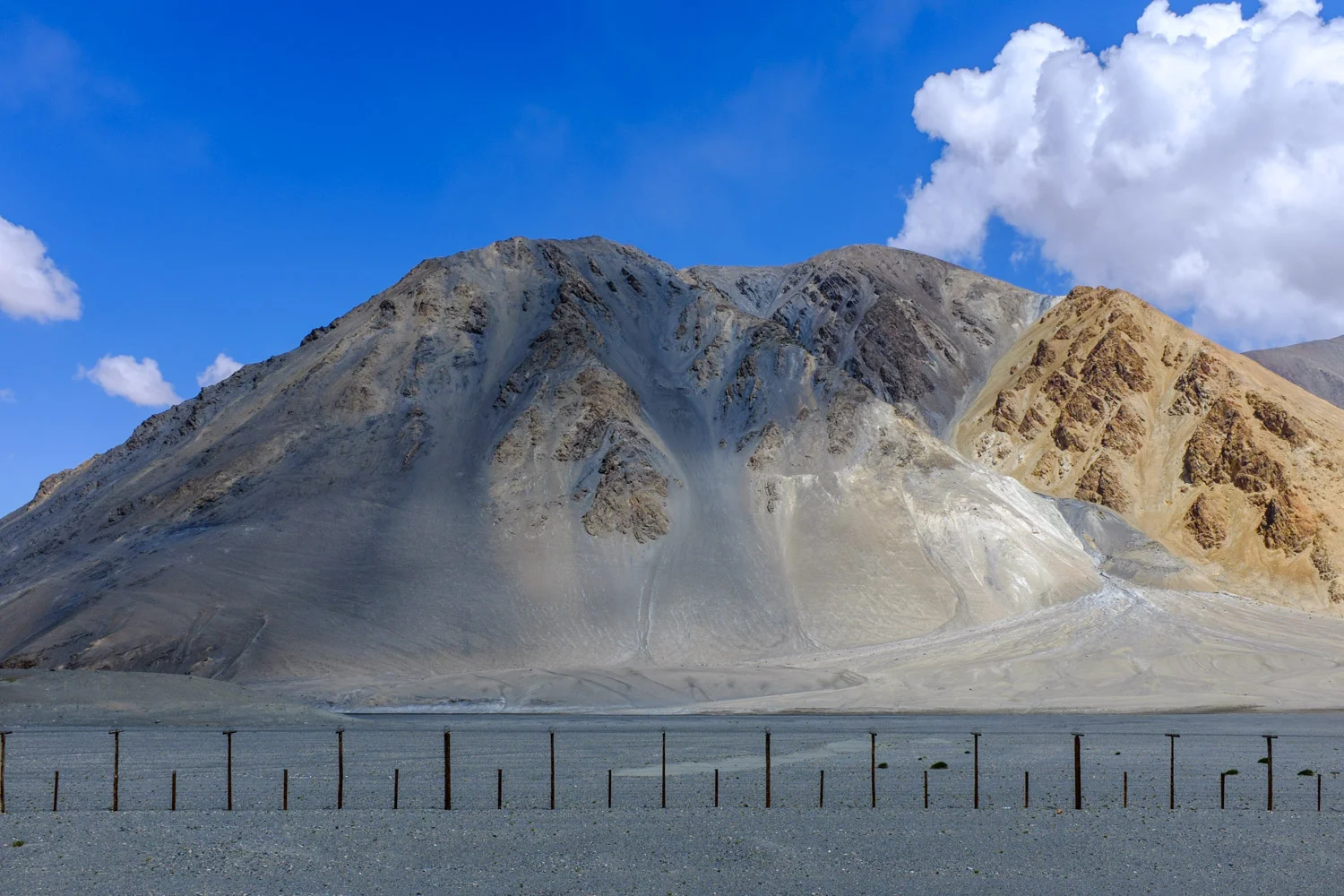
On the other side of the border checkpoint, we got our first good look at the Pamir mountains. It was as empty and lifeless as the moon. Dull gray rock and sand dominated the landscape except for occasional stripes of rust-orange minerals and distant mountaintops dusted snowy white. The only signs of life were a few brown tenacious tufts of grass. To the east, an infinitely long barbed wire fence cordoned off the vast and foreboding no man’s land between Tajikistan and China. Here the M41 was less of a road and more of a washboard made of sand and rock. Riding over it was so jarring that it was difficult to keep our hands on the handlebars and impossible to sit on our saddles. We carefully navigated the softer edges of the road like electrons seeking the path of least resistance.
The no man's land between Tajikistan and China
After rattling our minds loose on the washboard road for several kilometers, we were finally met by the welcome sight of pavement. Although it was warped and cracked, we could finally sit back in our saddles and our bodies appreciated it. The cracks in the pavement though had been filled with black tar which, under the midday sun, was melting into the consistency of chewed bubblegum. The liquifying tar grabbed at our tires and robbed us of our speed. If we stopped too long to rest, our shoes would get stuck in it. So we pushed on, dodging the dark spots in the road like they were quicksand.
With the wind at our backs we made good progress up a long but gradual incline. At the top of the hill we caught our first glimpse of Karakul, one of the highest alpine lakes in the world. Its name means “black lake” in Tajik but from where we stood it shimmered like a giant mirror reflecting the electric blue sky. Fields of yellow-brown sand surrounded it on all sides and beyond that, rolling snow-capped hills which looked like they might have been massive sand dunes. On the far side of the lake we spotted a cluster of small white buildings - Karakul village, our first destination in Tajikistan.
As we neared the village, I noticed the odometer on my bike computer (which I reset to 0 at the start of the trip) was inching closer to 1,000 kilometers. When it finally got there we had to stop and celebrate.
Celebrating our first 1000 km (621 mi)
Following a tip from another traveler we had met, we kept our eyes out for a sign for Sadat Homestay. The M41 is the only road through Karakul village so it wasn’t hard to find. Like every other house in the village, Sadat Homestay was a squat little building made of mud bricks plastered white with pale blue accents around the windows and doors. We were welcomed inside by Mr. Sadat himself, an elderly man wearing a kalpak, the traditional white felt hat which was ubiquitous in Kyrgyzstan. After tea and a wash in the dung-fired banya (bath house) we were served a vegetable and mutton soup for dinner. Mr. Sadat’s daughter rolled out two mattresses piled high with blankets for us and we immediately plunged into sleep.
Breakfast at Sadat Homestay
The next morning we awoke feeling awful. Our bodies were sore and our heads felt like they were being crushed beneath a tremendous weight. Actually, just the opposite was happening. At about 4,000 meters above sea level, the lack of pressure in the atmosphere (or the lack of atmosphere, to put it another way) was causing our brains to expand and push against their skulls. This painful brain inflation is usually referred to as altitude sickness. I had been wondering when it would catch up with us. The best thing to do to relieve altitude sickness is to descend to a lower altitude. But that was out of the question since a lower altitude was over 50 km away and in another country. So we decided to stay another night at Sadat Homestay and spent the day resting. We had some eggs and bread for breakfast then crawled back in to our pile of blankets. Later in the day I started to feel better so I took a walk around the village.
As I wandered through the winding alleys between Karakul’s whitewashed houses, an eerie feeling came over me. Although there were a few hundred houses in the village, there seemed to be very few people living there. The streets were mostly deserted except for a few kids running around. I started to wonder why this village existed and how it supported itself. The ground was too dry and sandy to grow crops. There wasn't enough grass to graze even a small herd of sheep. There weren’t even any shops. So why did people live here? What did they do to support themselves? As I walked toward the lake shore, I wondered if it offered some way for the locals to provide for their families but a rusting old sign in Russian, Tajik, and English and answered that for me. It stated dryly that the lake was formed by a meteor impact some five million years ago and that it had no commercial value whatsoever. Not a single boat touched its placid surface. The mud and grass on the shore was caked white with salt from the brackish water. I tried to stay and watch the sun set behind the 7000 m Peak Lenin on the other side of the lake but large and aggressive mosquitos drove me back to the homestay.
A typical Pamir-style house
We woke up the next morning feeling better acclimated. Our headaches subsided and our bodies felt stronger. So we packed up and headed out, hoping to get as close as possible to the next major milestone on our map - the Ak-Baital pass, the highest point of the Pamir Highway. The M41 south of Karakul was well paved and flanked by the now familiar lunar-like landscapes. A few of the distance markers along the road were decorated with abstract sculptures made from junk found by the side of the road. It was nice to see a little creativity in an otherwise very bleak part of the world.
Road side junk sculpture

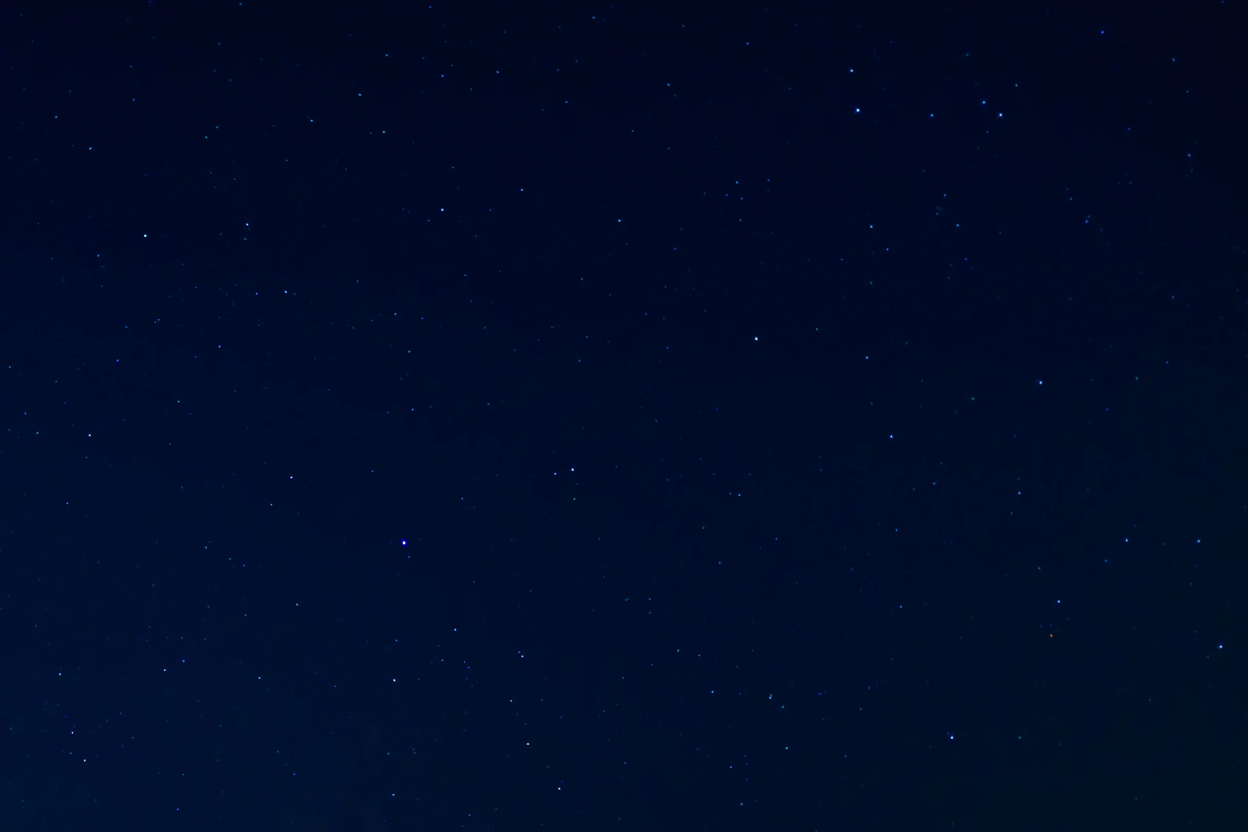
We stopped for lunch at a long causeway crossing a broad flood plain and heated fresh water from the river to make instant noodles. After the causeway the road reverted to rippling waves of dirt and gravel once again. It wasn’t long before the jarring vibrations wore us out and forced our tired bodies off the road. We made camp in a dusty field at the foot of some dusty brown snow-capped mountains. As the sun sank lower in the sky a strong wind began to pick up and blew yellow brown sand all over our campsite. We huddled around our stove in the small vestibule of our tent trying to keep the sand out of our dinner. That night the stars shone spectacularly.
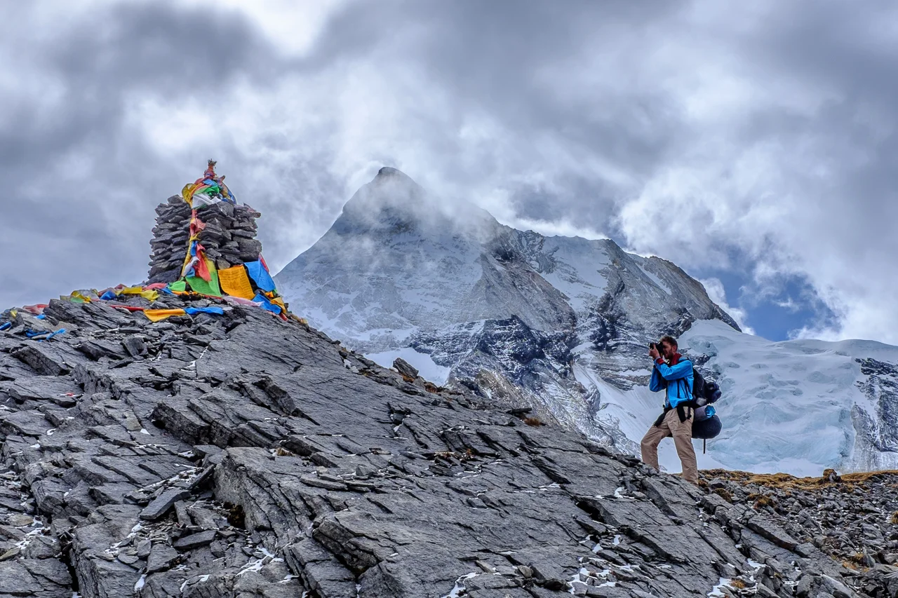
The following day we pulled ourselves back up onto the washboard road and began the long arduous climb up to the Ak-Baital pass. This short but steep climb (about 500 meters over 20 kilometers) would be tough on fully loaded touring bikes at sea level. But we were starting at 4,100 meters above sea level. Even though we were gradually acclimating to this high altitude environment, we still had to stop to catch our breath after a modicum of exertion. Sometimes our maximum effort just barely pushed the bikes fast enough to keep from tipping over. Sometimes it was not enough and we had to dismount and walk our bikes to a gentler slope. But after a long struggle and many breaks for water, oxygen, and Dali Bars, we finally arrived at 4,600 meters above sea level - the top of the pass, the highest point on the Pamir Highway, and the greatest altitude we would reach on this journey.
It was a momentous achievement for us but the top of the pass was a lackluster place to celebrate. There was no majestic vista or even a sign marking the place, just a kind of weird gray asphalt which looked like it hadn’t been maintained since the Red Army laid it in the 1930’s. As we sat in the glow of our achievement, we spotted another cyclist on the road ahead grunting his way up the other side of the pass. What were the odds, we wondered, that we would reach the highest point of the Pamir Highway at nearly the same time as another cyclist coming from the opposite direction?
Sharing a Dali Bar with another cyclist on the Ak-Baital pass
While we chatted with the new arrival, two backpackers climbed down from the rocky outcrop on the south side of the road. Moments later, the other cyclist’s female friend arrived and promptly asked him, “Where the fuck are my cigarettes?!” It seemed like a pretty funny thing to say after biking to the roof of the world. But we realized she wasn’t joking when she lit one up. I was simultaneously impressed and a little grossed out. The six of us sat and chatted for a while, enjoying the oddity of this chance encounter in such a remote place. Then we went our separate ways: The other cyclists went north towards Karakul, the backpackers waiting to hitch and ride, and we rolled south towards Murghab.
The south side of the Ak-Baital pass was better paved and, with the wind at our backs, we soared down it. We had not seen any water sources all day so we kept our eyes out for streams and places to camp. After stopping for a bathroom break, we spotted a yellow hatchback dotted with logos and a pile of spare parts on its roof. The driver stopped and greeted us. He was the first of many Mongol Rally drivers we would pass in Tajikistan. I asked him if there were any rivers or streams up ahead where we could get water. He shook his head and said it was dry up to Murghab. We wished him well and continued on our way, a little worried we would not find any more water that day. A few kilometers later however, we discovered a river rushing by the side of the road, green grass lining its banks. We found an excellent campsite on the soft grass and were happy to have drinking and cooking water again. We wondered how the Mongol Rally driver had missed this oasis. Traveling by bicycle was allowing us to intimately experience the land we traveled through and to notice things we might have missed if racing through in a car.
Ice from the Kitchen Sink
In the morning there was ice in our Kitchen Sink, a collapsible bucket we use for hauling water from streams to camp. But once the sun hit our tent we warmed up quickly and took off for Murghab. We pedaled eagerly, hoping that a hot meal and a shower awaited us at the end of the day, and arrived in the early afternoon. With a population of 4,000 people, Murghab is the biggest town in the eastern Gorno-Badakhshan region of Tajikistan. It’s mainly composed of the same whitewashed mud brick Pamir-style homes we saw in Karakul but it also had banks, shops, and petrol stations. It felt more like a real town than Karakul. It was impossible to miss the Pamir Hotel, the only hotel in town. Several other foreigners traveling by bicycle, motorcycle, or jeep sitting in front of the hotel welcomed us in. Some had set up tents in the courtyard but we splurged on a $15 hotel room and slept in a bed for the first time since we left Osh.
A dust devil on the road to Murghab
It’s a good thing we planned to take a rest day in Murghab because when I woke up the next morning I had to make an urgent dash to the toilet. Traveler’s diarrhea is a right of passage in Tajikistan. It strikes everyone that travels through this country and that day it was my turn. The Pamir Hotel offered dorm-style housing in a yurt in their courtyard for $5 so we moved into that to maintain our $10/day budget. We spent the next few days there resting, recovering, and swapping stories and information with other cycle tourists. We wanted to be in good condition when we left again because the next stage of our journey would be even more grueling than the Ak-Baital pass. Southwest of Murghab, the landslides had not yet been cleared and the M41 was still impassible. So we would have to take a detour over the rugged Khargush pass and into the Wakhan valley on the border of Afghanistan.
Distance pedaled in this post: 231 km (144 mi)
Total distance pedaled to date: 1,094 km (680 mi)